Missing OSM Maps -- Overview
Introduction
In our DeepVGI project, we are interested in combining deep learning techonology with crowdsourcing VGI data for real world problems. For this Missing OSM Maps WebGIS application, we focus on achieving high performance Missng OpenStreetMap Built-up area detecting and mapping. Our aim is to have a end-to-end framework for fast and accurate unmapped human settlements localization and detection by integrating heterogenous geodata, such as volunteered geographical information (VGI), social media (geo-tagged tweets), and remote sensing (RS) satellite images.
Info & Contact
- Project Lead: Alexander Zipf
- Scientific Researcher: Hao Li
- Website Developer: Mohammed Zia
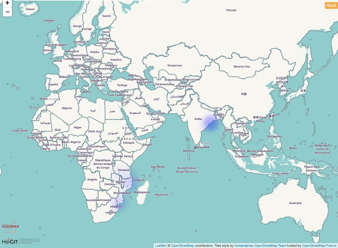
Missing OSM Maps HeatMap: Find the most in demand areas.
When opening Missing OSM Maps, the very first page is the heatmap of the OSM Missing Built-up Areas detected by our methods, which aims to priorititze the most unmapped areas (e.g: with the largest missing built-up areas) in a global level. The more dark color you see, the more OSM Missing Built-up Areas you may find.

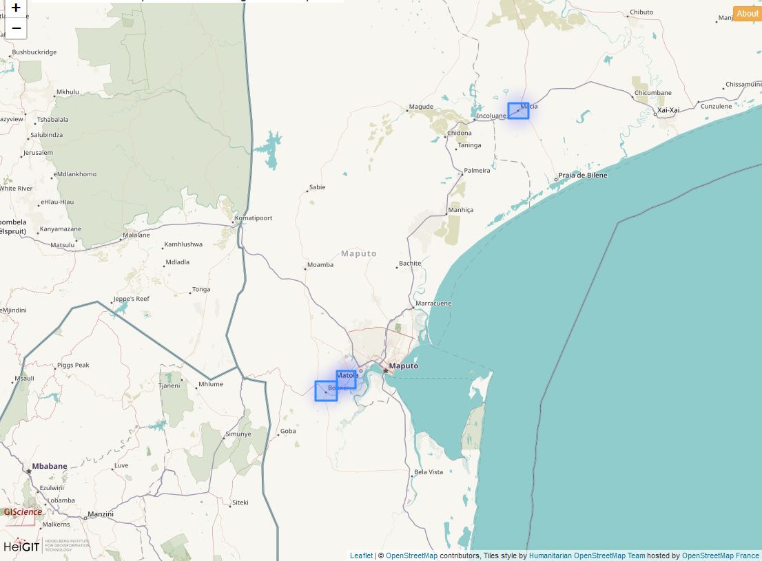
Since our Missing OSM Maps focuses on accurately localizing and estimating the built-up residential areas, so we result in many study areas in worldwide, in order to check individual study areas, you may zoom in and click on the bounding box as shown below.
